-40%
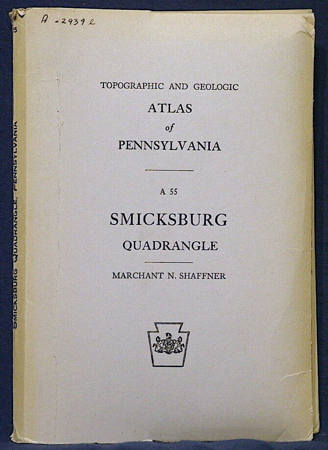
SMICKSBURG PENNSYLVANIA GEOLOGIC ATLAS Many Nice Maps & Sections 1946 RARE
$ 12.67
- Description
- Size Guide
Description
RARE OLD ITEM!! CLASSIC MAPS!!This is Topographic and Geologic Atlas of Pennsylvania 55,
Smicksburg Quadrangle
. Published in 1946, this is a rare item to find complete. This report consists of a
252-page book
,
seven maps
in a pocket, plus five fold-out maps, charts, and tables bound into the book.
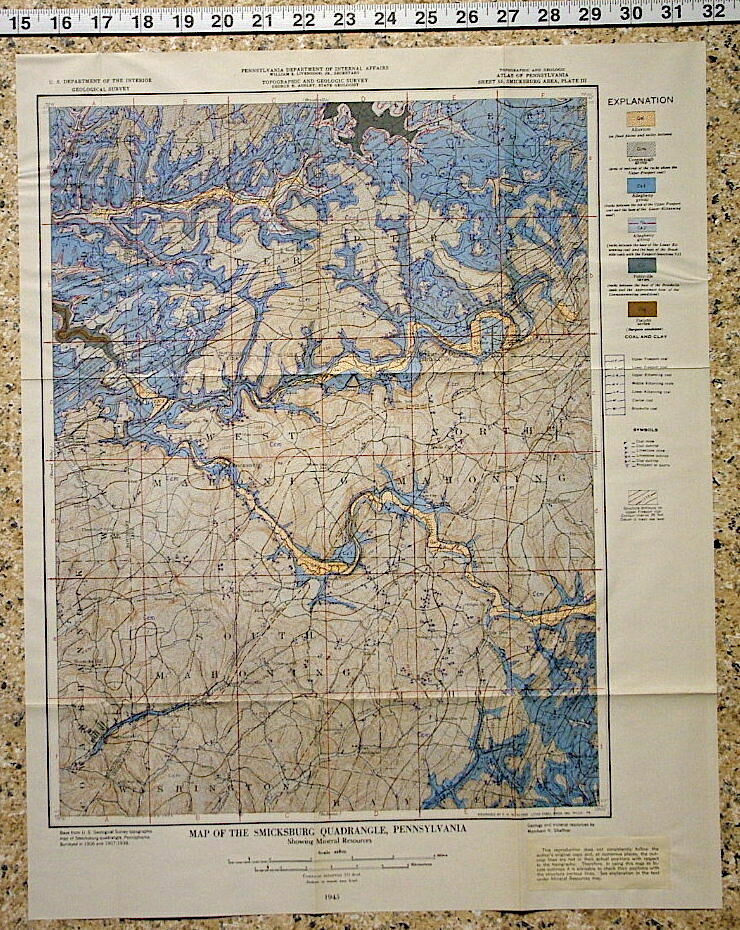
This book covers all aspect of the physiography, topography, and geology of this important historic coal mining region. Smicksburg was one of the most important coal mining regions in Pennsylvania, and this book goes into great depth on the coal beds, gas-bearing sands, and the encompassing geology.
The three large area pocket maps are detailed in a cool 1940s vintage style, and show the topography, geology, oil and gas, and other mineral resources at a scale of 1:62,500 (15 minute quad). The area is then divided into NE, NW, SE and SW quarters and detailed further in the B&W maps.
The fold-out plates in the text include maps, correlation charts and a large data table. I've included pictures of some of them.
This is a rare item to find complete with all parts. Often one or another map, or all of them, are missing.
This is a great item that would be of interest to geologists, engineers, residents, or petroleum industry folks in the area.These state publications are harder to find than USGS bulletins. This is especially true of the older ones like this.
Expert packing assured. Shipping weight is two pounds. The recent increase in postage rates was pretty big. As a result, Media Mail is now my default shipping method to keep shipping affordable.
Visit my store,
Rockwiler Books and Minerals.
I will continue to add items to my store, so check back frequently.
®
ROCKWILER


