-40%
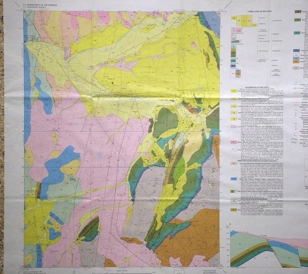
USGS GRANBY, COLORADO Geologic Map, COLORFUL MAP of PRECAMBRIAN etc. 1995 VIVID!
$ 6.28
- Description
- Size Guide
Description
LAST ONE!!!This is USGS map GQ-1763, “
Geologic Map of the Granby Quadrangle, Grand County, Colorado
.” Published in 1995, this is a nice item depicting the interesting geology of this area. This 7.5-minute quadrangle map is quite colorful, and really would look nice f
ramed.
Formations range in age from Precambrian through Mesozoic to Tertiary and include a wide range of rock types, mostly folded and faulted
sedimentary
rocks, but some igneous and metamorphic older rocks are also present. Several nice cross sections make the geology come alive. Granby is in the middle of the top half of the map.
All in all, this is a cool, colorful map that would look great on the wall of a home or business in the area, or just kept for study and enjoyment. Measures 36 x 39 inches (H x W).
I have other Colorado area maps listed, so check my other items. Look for the Strawberry Lake Quad geologic map, which is the map just east of this one, as well as the Bottle Pass map, just to the south, and the Trail Mountain map, just to the north. It would be great to get the whole set.
Expert packing assured.
Visit my store,
Rockwiler Books and Minerals.
I will continue to add items to my store, so check back frequently.
®
ROCKWILER


