-40%
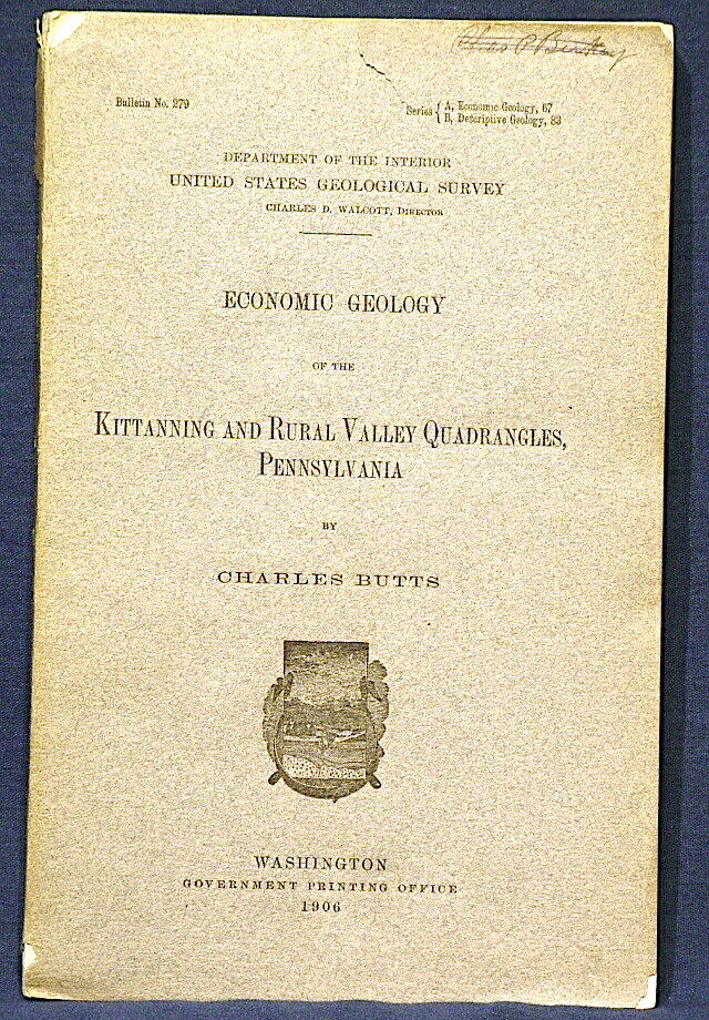
USGS KITTANNING & RURAL quads PENNSYLVANIA VINTAGE 1906 With AMAZING OLD MAP
$ 9.5
- Description
- Size Guide
Description
RARE OLD ITEM!! CLASSIC VINTAGE MAP!!This is USGS Bulletin 279,
Economic Geology of the Kittanning and Rural Quadrangles, Pennsylvania
. Published in 1906, there can't be many of these around. This report consists of a 198-page book,
a full color map of the area
, and seven fold out stratigraphic charts bound into the text.
This is an area known for coal and clay mining, NE of Pittsburg, mainly in Armstrong county, but overlapping partly in to Indiana and Butler counties as well. Dozens of different coal beds are discussed in the text, as well as other features. It is all interesting, but the real prize here is
the map
, which is a full color map of the area, with the Alleghany River flowing down through it. Kittanning and Ford City are toward the center of the map. Dayton, Sagamore, Craigsville, and East Brady are toward the edges. This map has got a great vintage look to it and would look fantastic framed and hung in a home or business in the area. The colors are just rich and the details amazing. I love these old things and to find one like this with no damage or pinholes, well, it is just begging to be displayed. However there is lots of history in the report as well, with many old company names and such, if that is your interest.
Please read the condition notes.
Expert packing assured. Shipping weight is two pounds with a cardboard backer. Media Mail is provided to save you a couple bucks.
Visit my store,
Rockwiler Books and Minerals.
I will continue to add items to my store, so check back frequently.
®
ROCKWILER


