-40%
USGS MONTANA WINNETT MOSBY AREA Petroleum Garfield Rosebud Fergus Counties MAPS!
$ 7.91
- Description
- Size Guide
Description
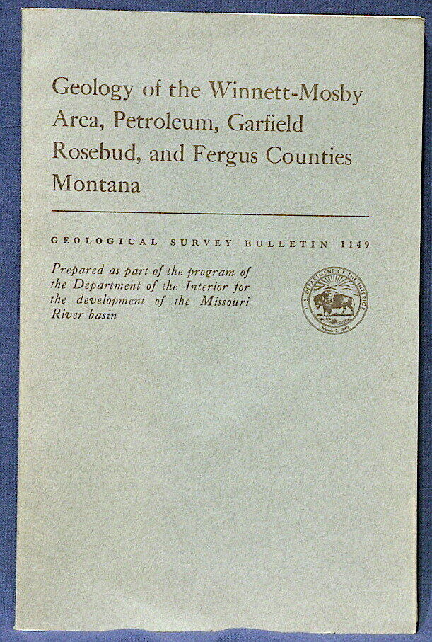
SCARCE ITEM!! HUGE MAP!!This is USGS Bulletin 1149,
Geology of the Winnett-Mosby Area, Petroleum, Garfield, Rosebud, and Fergus Counties, Montana
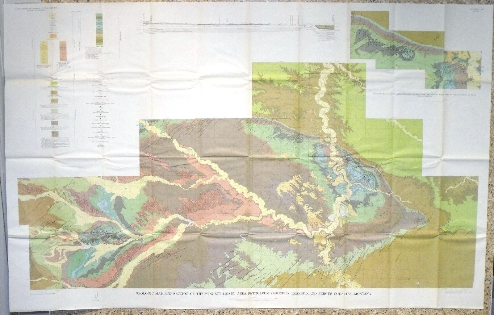
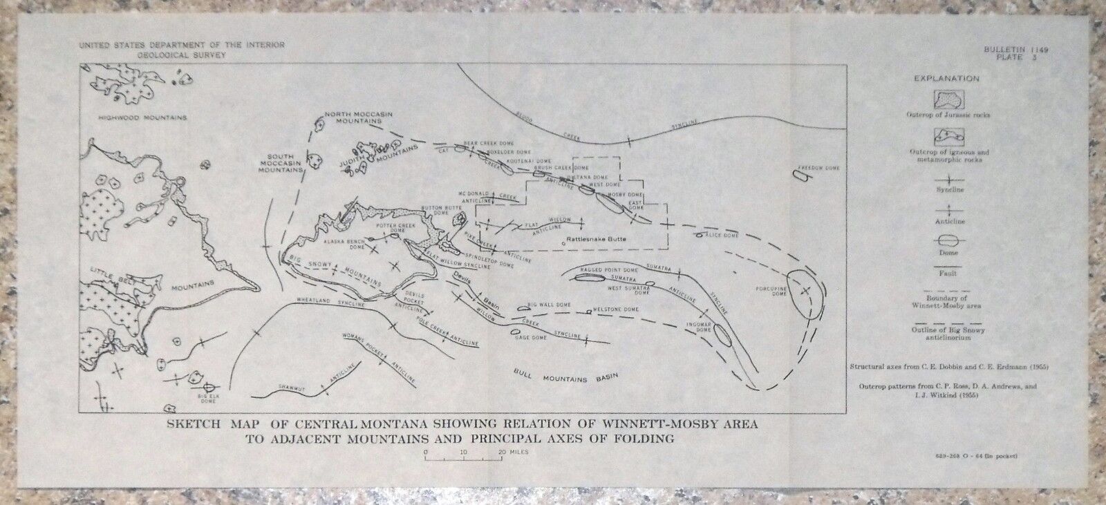
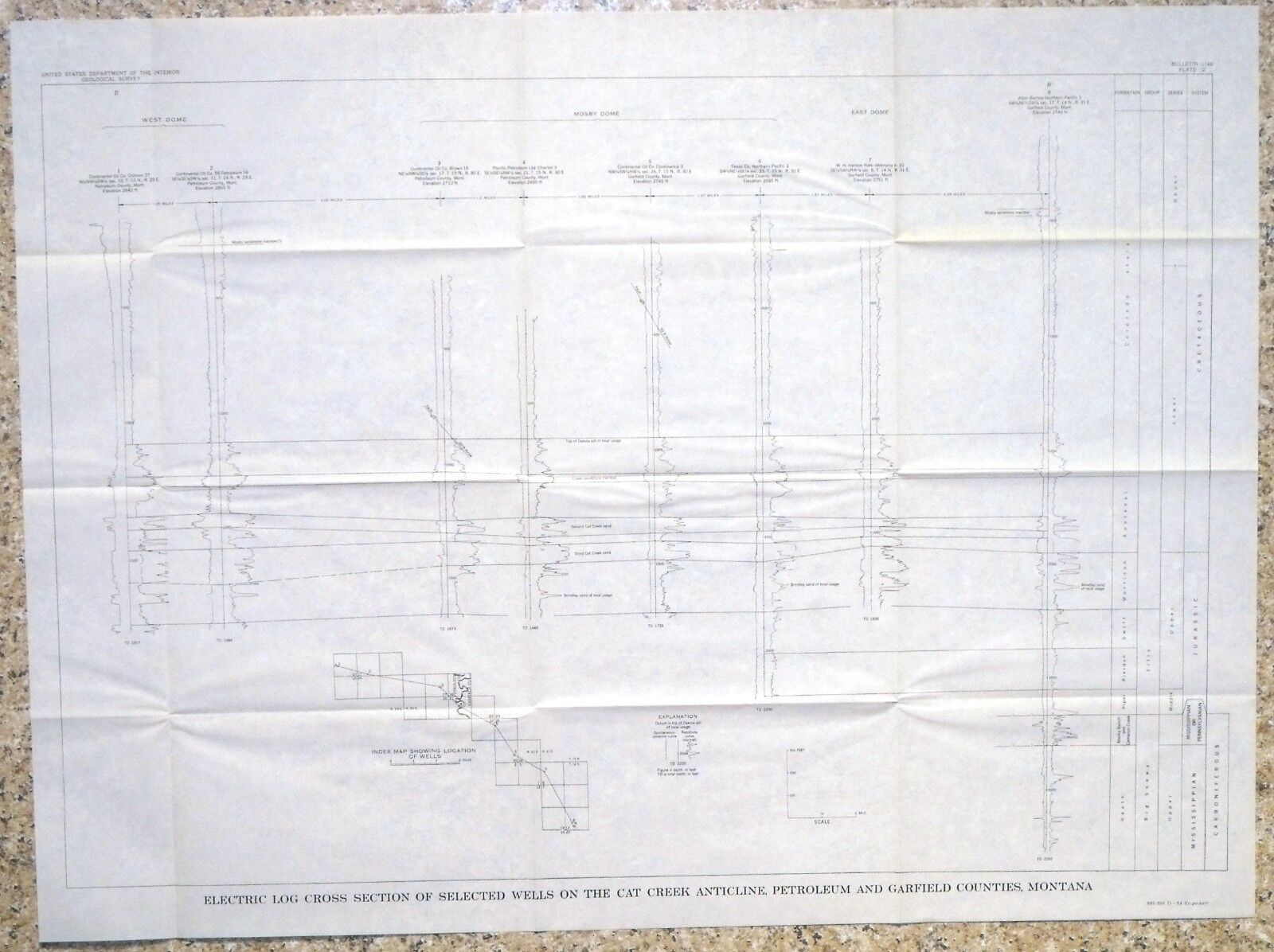
. Published in 1964, this is a pretty scarce item. This 91-page book comes complete with the original full color geologic map, an additional map, and a large chart! This is a great old publication that details the geology of this enormous and beautiful area.
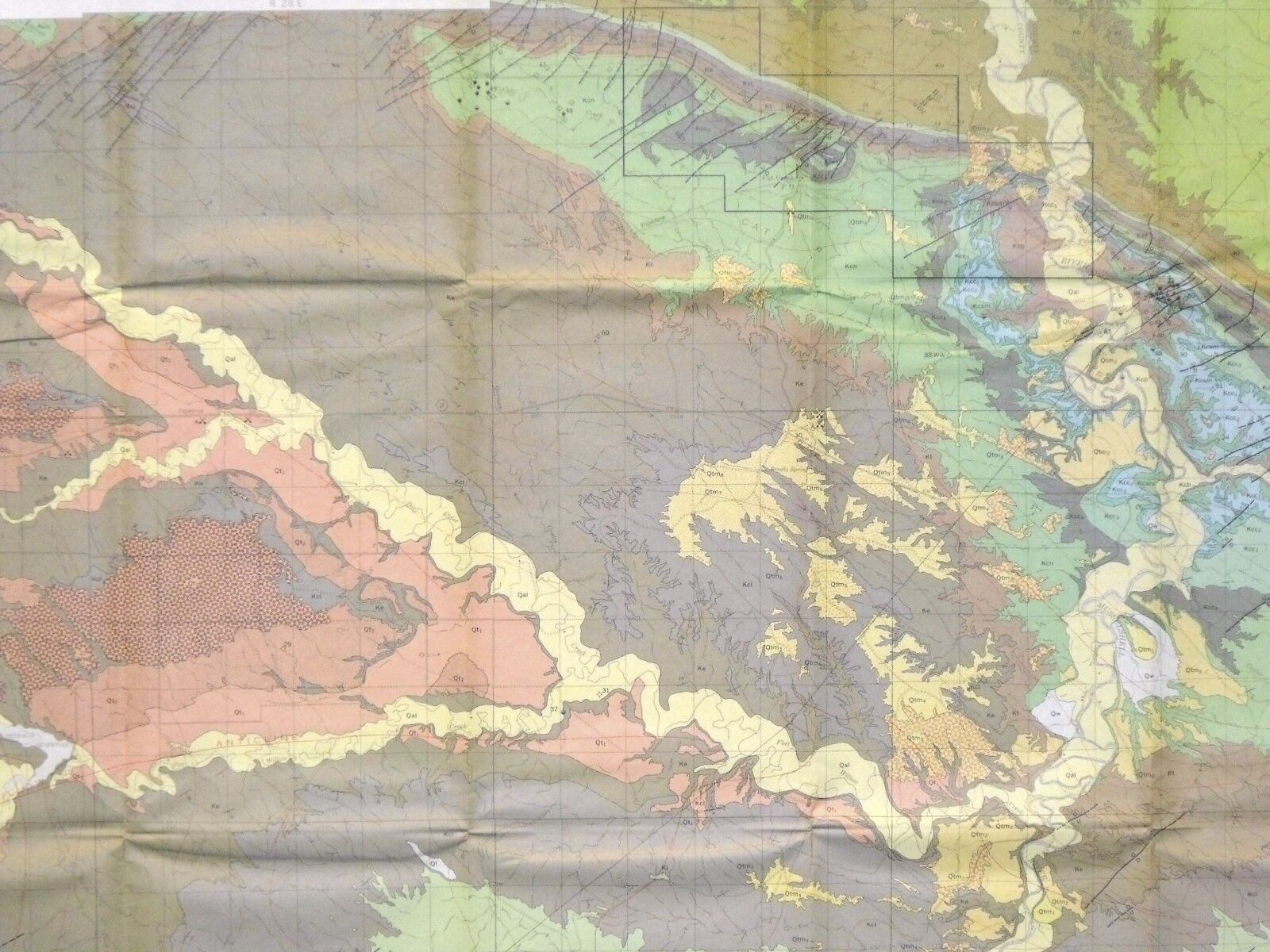
The map is o
ver 50x30 inches
, covers over 850 square miles, and really makes the geology stand out. This is a very interesting publication not often available these days. This area was studied due to interest in the oil resources, and numerous oil wells had been drilled by the time of the study.
Most of the rocks consist of Cretaceous sedimentary rocks, but there are some younger igneous rocks exposed in the west of the study area. Some Cambrian and younger rocks were identified in deep drilling.
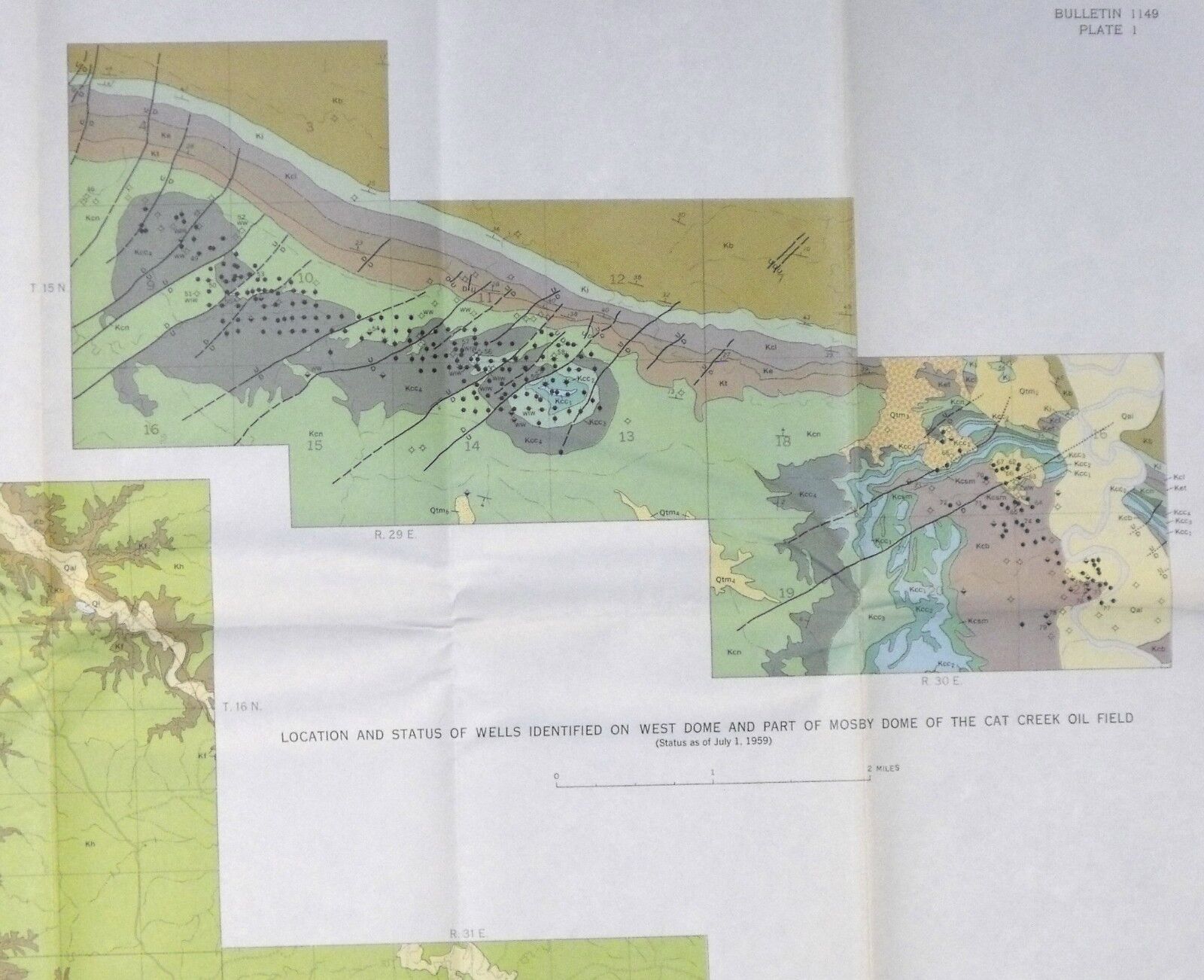
Oil was produced from several domes along the Cat Creek anticline. Locations of wells and their names and information are provided on the map and in the tables in the text. As is often the case during those days, some of the names of wells were likely local names of people involved in the companies and properties of the area.
This is a great, very complete report on this area, and a scarce item these days. To find it complete with all the maps is uncommon.
Expert packing assured.
Visit my store,
Rockwiler Books and Minerals.
I will continue to add items to my store, so check back frequently.
®
ROCKWILER
