-40%
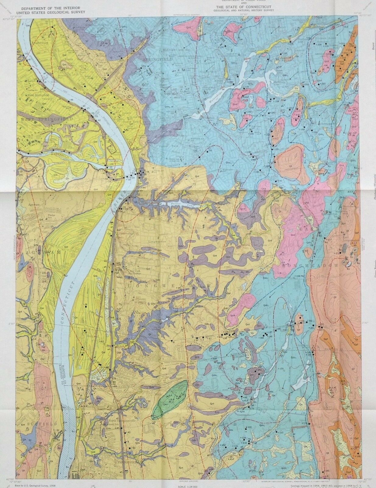
USGS SPRINGFIELD SOUTH QUADRANGLE, CONNECTICUT & MASSACHUSETTS GEOLOGIC MAP 1967
$ 6.28
- Description
- Size Guide
Description
ONLY ONE!!This is USGS map GQ-678,
Geologic Map of the Springfield South Quadrangle, Hampden County, Massachusetts, and Hartford and Tolland Counties Connecticut
.
Published in 1967, this is a nice item depicting the extremely complex geology of this area. This 7.5-minute quadrangle map is beautifully colorful, and really would look nice framed. It comes with a nice 4-page article on the geology of the area.
The Connecticut-Massachusetts line goes across the lower quarter of the map. The map is amazingly detailed and the cross sections showing the orientation of the formations are very helpful! Springfield, Massachusetts occupies much of the northern part of the map. North Thompsonville, Connecticut is in the south part of the map. Most of the rocks in the area are Paleozoic in age and comprise both metamorphic and igneous rocks.
All in all, this is a cool, colorful map that would look great on the wall of a home or business in the area, or just kept for study and enjoyment.
I may have other New England area maps listed, so check my other items.
Expert packing assured.
Visit my store,
Rockwiler Books and Minerals.
I will continue to add items to my store, so check back frequently.
®
ROCKWILER


