-40%
WATERVILLE QUADRANGLE, PENNSYLVANIA GEOLOGY Vintage Map 1968 NICE! LYCOMING CO.
$ 6.33
- Description
- Size Guide
Description
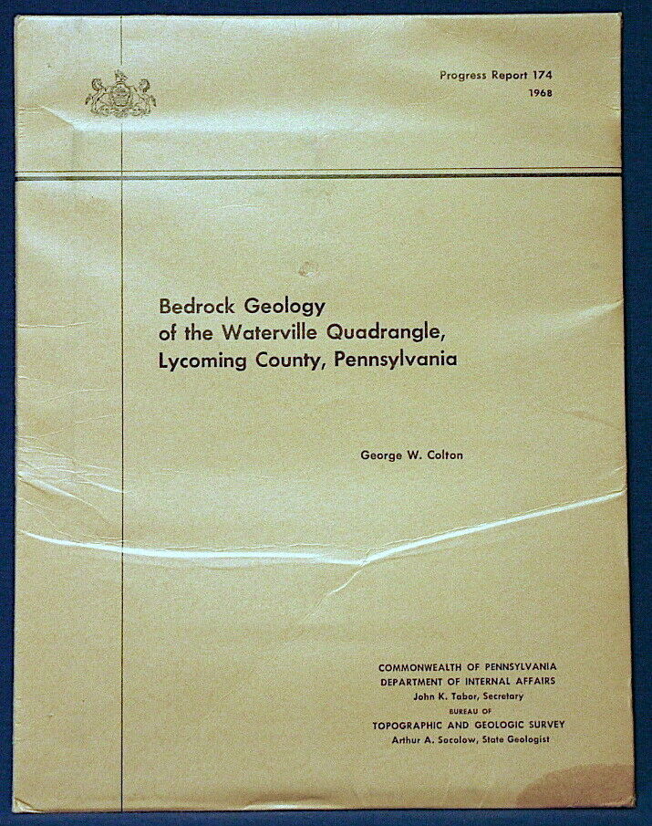
RARE OLD ITEM!! COLORFUL MAP!!This is Pennsylvania Geological Survey Progress Report 174.
Bedrock Geology of the Waterville Quadrangle, Lycoming County, Pennsylvania
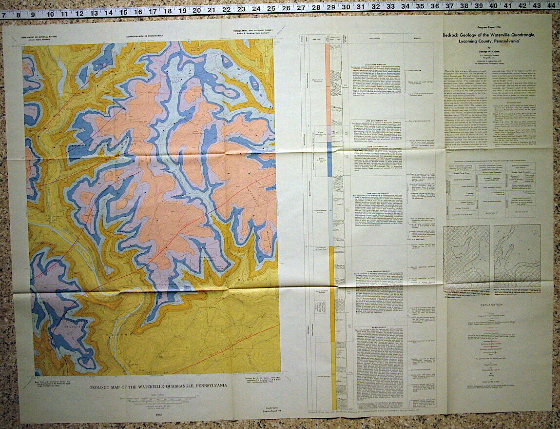
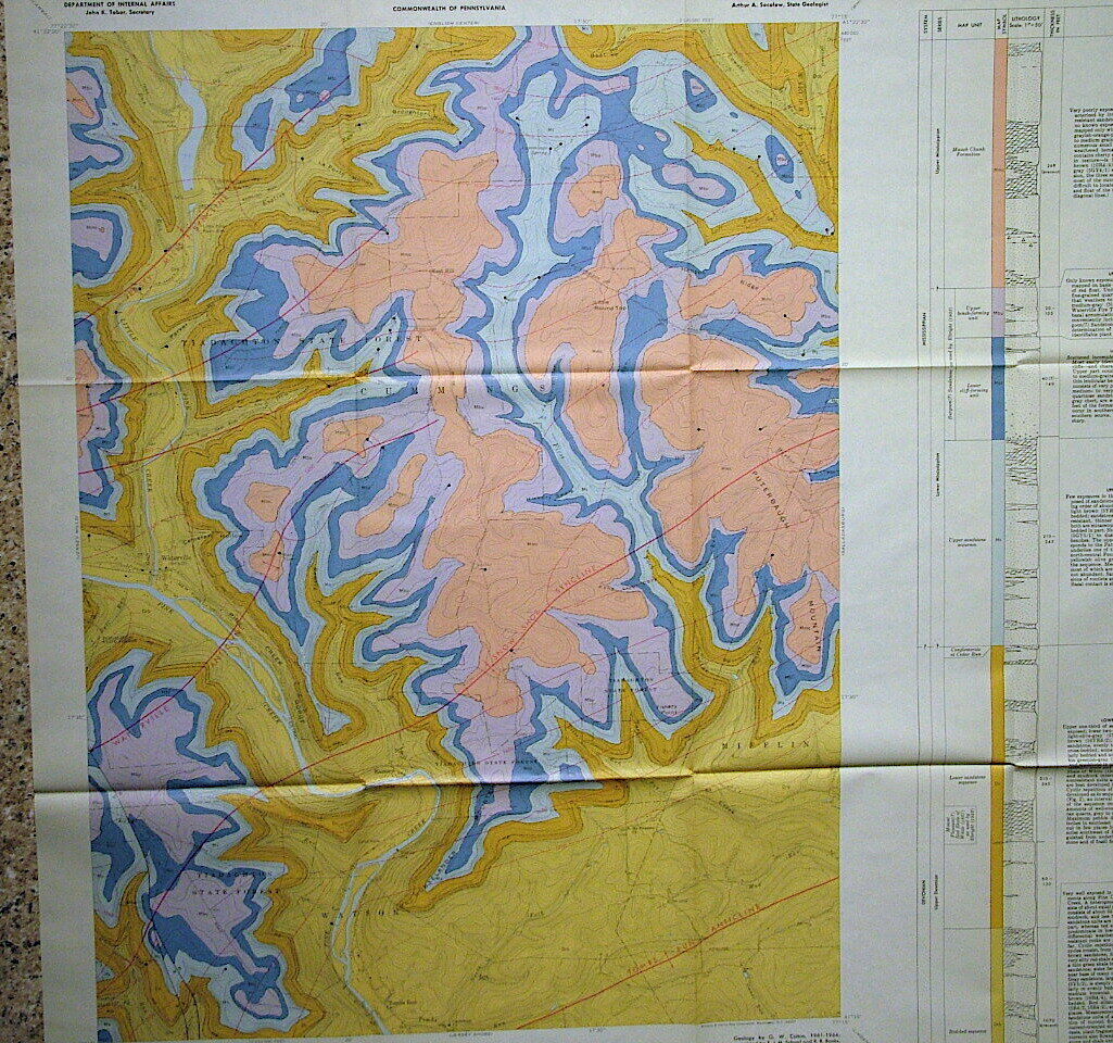
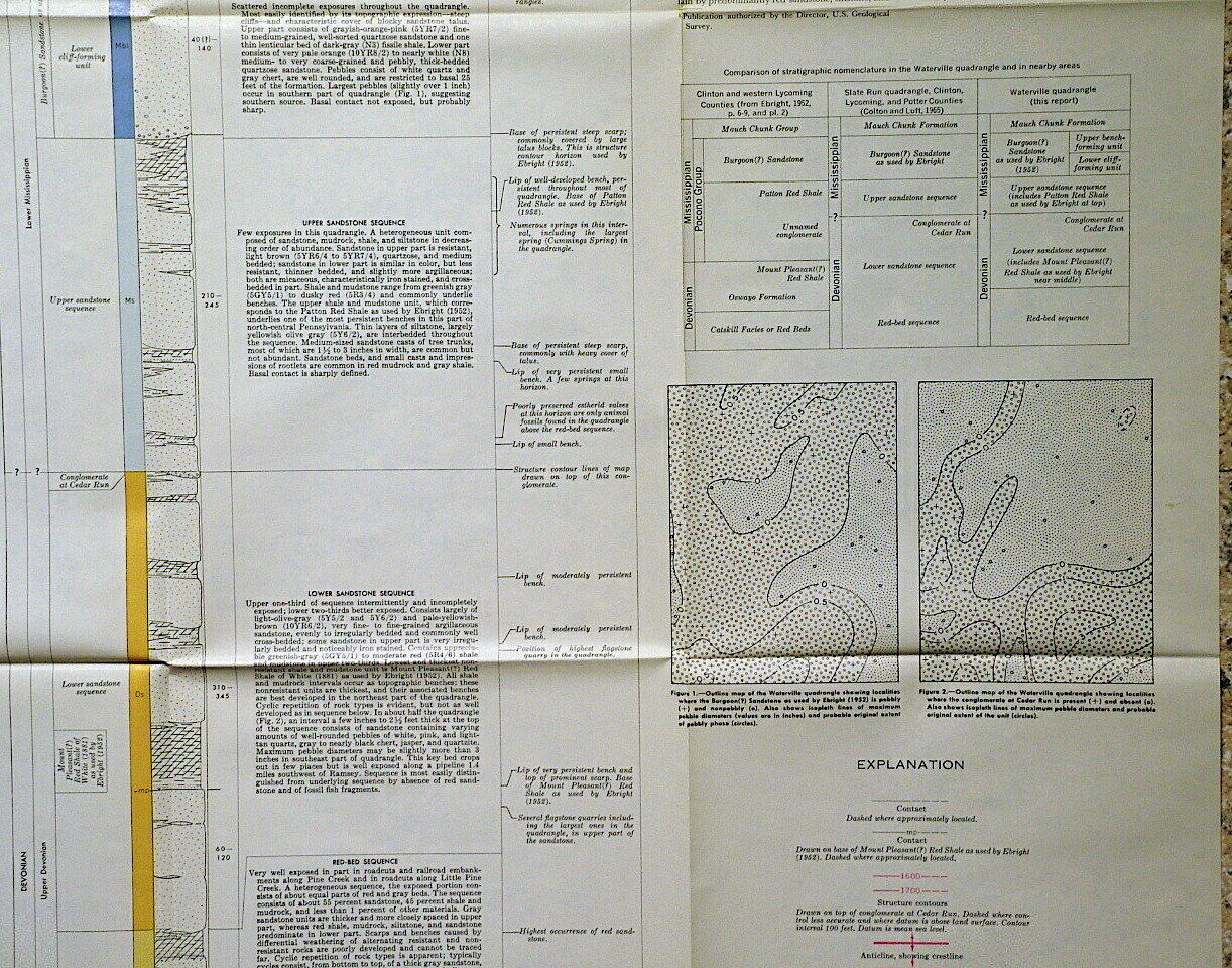
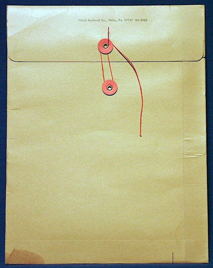
. Published in 1968, this item consists of a a cardboard sleeve and a color geologic map with explanations of the geology.
This map is at 1:24,000 scale and covers about 55 square miles. The rocks are Devonian to Mississippian in age. Although some of the neighboring areas had coal and gas production, the rocks of this quadrangle did not furnish such resources as the right formations are notably deeper here.
Nonetheless
it is a nice, colorful map of the area. Little Pine Creek and Pine Creek cut through most of the map.
This is an interesting item for a Pennsylvania resident interested in the geology around them, or anyone else that likes vintage maps and reports.
These state reports are much harder to find than USGS bulletins.
Expert packing assured. The recent increase in postage rates was pretty big. As a result, Media Mail is now my default shipping method to keep shipping affordable.
Visit my store,
Rockwiler Books and Minerals.
I will continue to add items to my store, so check back frequently.
®
ROCKWILER
